I have a multi-year continuing obsession with a theoretical Trans-Utah north-to-south bikepacking route from the Salt Lake area down to the Boulder mountain area in southern Utah. The theoretical route follows more or less the Great Western Trail. In past years my friends Ben and skiWill and I have done various sections of the route, from the northern Wasatch range (here), the Southern Skyline drive section, and the Fish Lake region. I had big plans this year of actually completing it all. However, trivial and not-so-trivial things conspired to derail those plans.
The trivial derailment was that we took a wrong turn on a section in which we did not have a map. This section was the very first bit of our route, coming out of Utah valley on Hobble Creek road. What's more, we screwed ourselves on the very first turn, which routed us north rather than south. After climbing 3000 feet on four-wheel-drive road, I discovered our error when the next supposed turn-off at 13 miles was not where I had planned. That's when we figured we were screwed and we rode into town after 55 miles of riding.
If the trivial problem did not get us, the not-so-trivial problems would have. One is that we were three people with vastly different paces on different grades. We all traded places who was fastest at different sections, but the overall pace was only as fast as the slowest rider. The second was that I was not acclimated as well as in previous years. Third was our lack of planning (read: no map). This was a failure on my part mostly, but Ben and skiWill helped by trusting me. Why such bad planning? Well, I had a paper revision that I submitted hours before I left for this trip. I had no time to get a detailed map purchased and studied in time so I went on some scribbled notes, but I did not write down all forest service road numbers for the route. skiWill has a bad case of grad school, so he's no good. And Ben? Ben goes on adventures like this every weekend I imagine, so he did not care at all what actually happened.
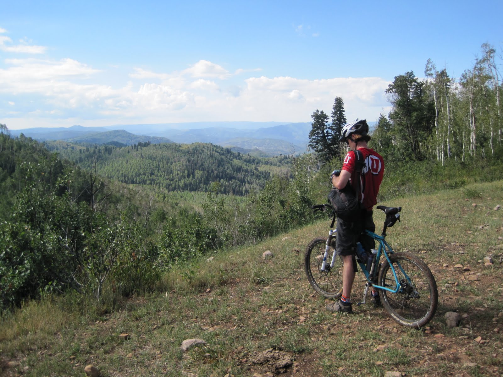
And that was just fine, because the day of riding we did have was excellent. We attacked the non-route with reckless abandon with smiles the whole way. Here are some pictures.


So for next year, if the stars align, I'd like to do things differently. First is to get a GPS. Second is to do it with full touring gear, so I have all the food I need and don't have to rely on shuttles or caches and go at my own pace. This is a better self-supported style, and as a bonus, when things don't go as planned I/we can stop and rest were we feel like, not where the car is. Third is to do it with gears, so I can realistically haul all the touring gear I need. Fourth is to get all my work done long before I start and go backpacking at 10000 feet for a few days to get completely acclimated. I'm sure Ben and skiWill have their own take on how to do it. Next year, hopefully, we can figure out a real plan.
Here's to next year!
Yeah, I'd say GPS is near essential for a Wasatch traverse. I am curious to give this a go, bikepack, self-supported style.
ReplyDeleteI tried ~100 miles on the Wasatch 100 route and there's some gnarly stuff out there.
Good post. Next time GPS!!